
Weather prediction technology in India has improved over time. From false prediction to accurately predicting the weather few days prior, o...
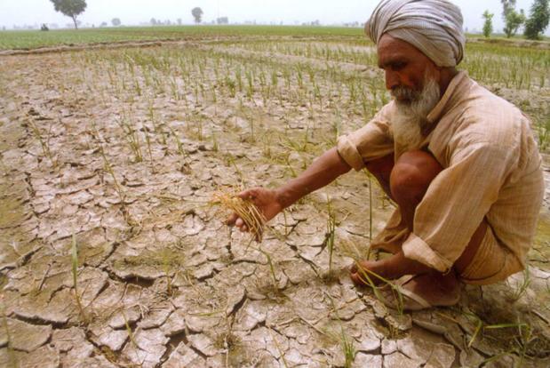
Weather prediction technology in India has improved over time. From false prediction to accurately predicting the weather few days prior, our Indian meteorological Department came a long way. But we are still way behind from predicting the rains, thunderstorms and drought spells a week before their occurrence. Often we look up to the sky for rains, but these scientists are planning to look down from the space to predict the draughts on the Earth.

Scientists from the Australian National University (ANU) have made this technology and used it to predict the droughts in their nation. A researcher and a scientist from the team has said that it is time we need to get closer to assess the weather and understand its complexity.
The team was successful in conducting experiments and had gathered all the relevant useful information form underground water levels to the history of drought pattern of the specified land. They have coordinated and synchronised the useful data and used them together productively.

Talking about how the satellites worked in this matter and helped them, a researcher says, " The way these satellites measure the presence of water on Earth is mind-boggling. We've been able to use them to detect variations in water availability that affect the growth and condition of grazing land, dryland crops and forests, and that can lead to increased fire risk and farming problems several months down the track".

The holistic approach forms when all this data is fed into the computer and it makes a pattern of visuals simulating the present water cycle, its usual alterations and the alterations for the estimated weather change. The water distribution levels below the surface of the Earth are thus depicted prior to their occurrence.
"We have always looked up at the sky to predict droughts—but not with too much success. This new approach—by looking down from space and underground—opens up possibilities to prepare for drought with greater certainty. It will increase the amount of time available to manage the dire impacts of drought, such as bushfires and livestock losses". Says a Professor from the ANU university


COMMENTS